Venture into the Heart of the Canadian Rockies
Immerse yourself in the awe-inspiring landscapes of the Canadian Rockies, where dramatic peaks, vibrant alpine meadows and pristine lakes await. Each trail reveals a new facet of this iconic wilderness, offering a memorable journey into nature’s raw beauty.
Yoho Valley Trails
Difficulty – Easy
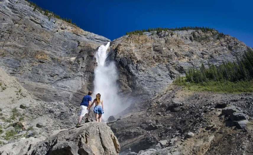
Takakkaw Falls
Roundtrip: 1.4 km (0.9 mi) – 15 min
Elevation gain: 40 m (131 ft)
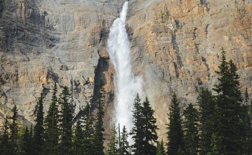
Named for the Cree word for “wonderful,” Takakkaw Falls stands at 373 metres in height, with the second tallest waterfall in Canada. The short trail is paved and mostly flat, making it an easily accessible and pleasant walk.
Difficulty – Easy
Laughing Falls
Roundtrip: 8.8 km (5.5 mi) – 3 hrs
Elevation gain: 125 m (410 ft)
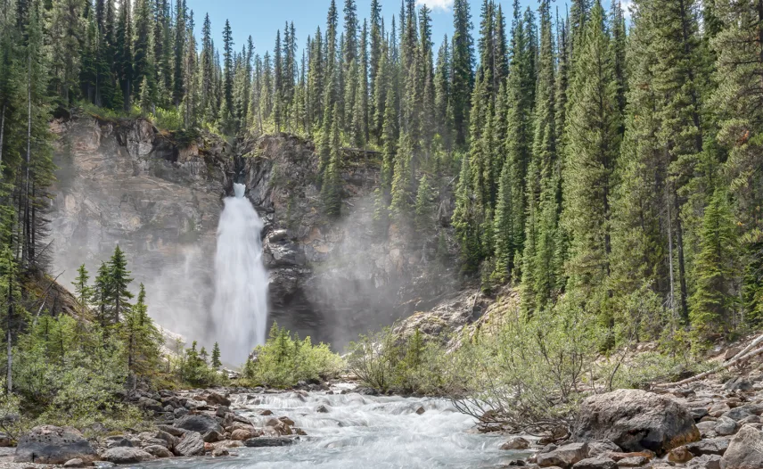
Laughing Falls offers a stunning waterfall at the end of a forested trail. To get there, enter the Takakkaw Falls parking lot and cross the campground to access the trailhead. The trail follows the course of the river for most of the way before encountering several small inclines to reach the base of the falls.
Difficulty – Moderate
Twin Falls
Roundtrip: 16.4 km (10 mi) – 5–6 hrs
Elevation gain: 300 m (984 ft)
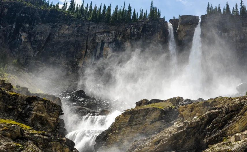
The Twin Falls are an impressive sight, with a nearby teahouse a short walk from the base of the waterfall. Those up for a challenge can continue along the steep and narrow trail to the top of the falls, where panoramic views of the Yoho Valley await. From here, turn back or extend your hike via the Iceline trail.
Difficulty – Difficult
Yoho Lake Loop
Roundtrip: 8.9 km (5.5 mi) – 3–4 hrs
Elevation gain: 560 m (1,837 ft)
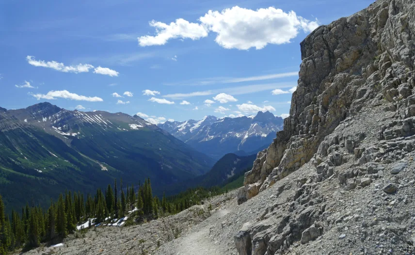
Begin your hike to Yoho Lake from the trailhead behind the Whisky Jack Hostel, parking at the main Takakkaw Falls lot 200 m up the road. For the best experience, follow the loop counterclockwise via the Iceline Trail, enjoying views of Takakkaw Falls as you ascend above the treeline, then descend through forest to Yoho Lake and continue around the lake before returning to the trailhead.
Difficulty – Difficult
Iceline Trail Via Celeste Lake Loop
Roundtrip: 16.5 km (10.2 mi) – 7–8 hrs
Elevation gain: 710 m (2,329 ft)
This hike involves a slightly shorter descent from the classic Iceline circuit, bypassing the Little Yoho Valley but taking in Celeste Lake, alpine meadows and sub-alpine forest. Enjoy a signature circuit climbing to a high bench with spectacular glacier views, descending to meadows in the Little Yoho Valley and returning past Laughing Falls in the Yoho Valley.
Emerald Lake Trails
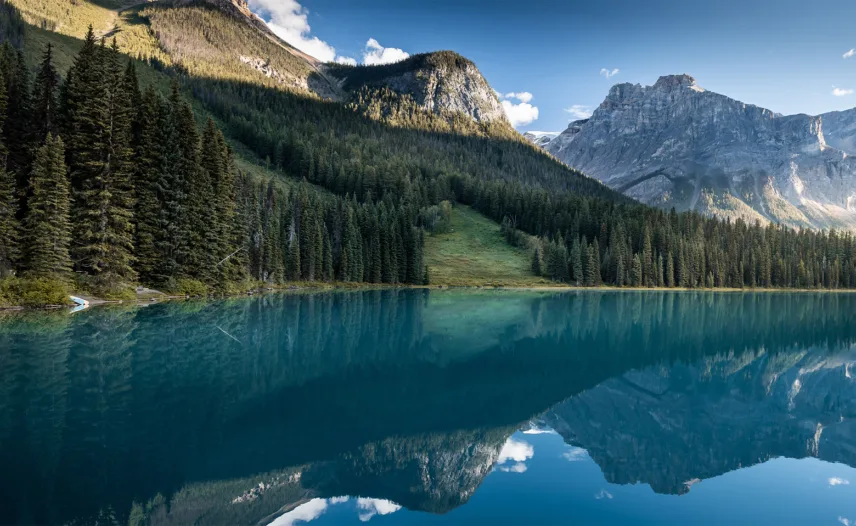
Difficulty – Easy
Emerald Lake Loop
Roundtrip: 5.2 km (3.2 mi) – 2 hrs
Elevation gain: 115 m (377 ft)
Following the shore of the lake, this trail offers continuous views of the stunning lake and surrounding mountain peaks. The first half of the trail is wide and well maintained, making it accessible in any weather. Once you reach the far side of the lake, the trail becomes narrow, rougher, and if the weather has been wet, muddy, so exercise caution.
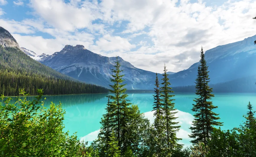
Difficulty – Moderate
Emerald Basin
Roundtrip: 9.2 km (1 mi) – 3.5 hrs
Elevation gain: 225 m (738 ft)
This trail, which branches off from the Emerald Lake Loop trail, takes you up to an alpine meadow with native wildflowers, small waterfalls and imposing mountain views. An excellent option to extend a day at Emerald Lake.
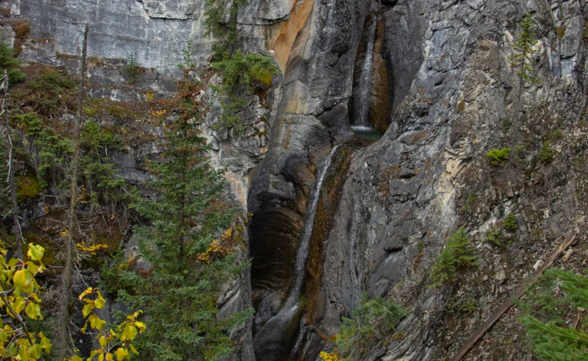
Difficulty – Easy
Hamilton Falls
Roundtrip: 1.6 km (1 mi) – 45 min
Elevation gain: 114 m (374 ft)
Nestled in a rock-cut gorge, this thin-flowing waterfall is best viewed during the peak runoff period of June to early July. Starting directly from the main parking lot at Emerald Lake, this trail winds through dense sub-alpine, eventually joining up with Hamilton Creek. Follow the trail up the short switchbacks to view the upper tiers of the falls and admire the gorge.
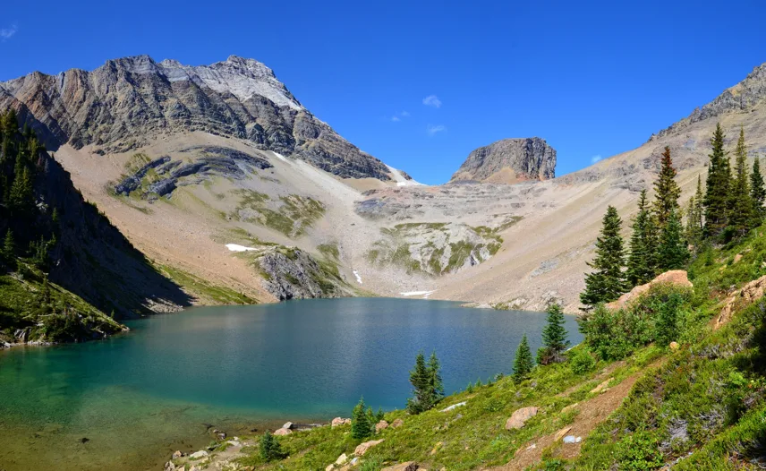
Difficulty – Moderate
Hamilton Lake
Roundtrip: 11 km (6.8 mi) – 4–5 hrs
Elevation gain: 850 m (2,789 ft)
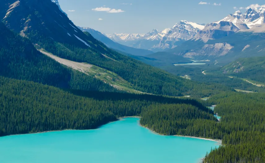
Continuing from Hamilton Falls to Hamilton Lake, which is set in a dramatic basin surrounded by three impressive peaks, involves a series of moderate to steep switchbacks in dense wooded terrain before leveling out into the alpine. From the top of a small hill, take in panoramic views of the lake as well as the meadows around it.
Difficulty – Difficult
Emerald Triangle
Roundtrip: 19.7 km (12.2 mi) – 6–7 hrs
Elevation gain: 880 m (2,887 ft)
This premier hike from Emerald Lake begins along the lakeshore loop before branching off toward Burgess Pass via steep switchbacks through forested terrain. At the top, enjoy sweeping views of Emerald Lake and the Kicking Horse Valley. Continue along the scenic Highline Trail to Yoho Pass, where panoramic mountain and glacier views await. From the pass, descend back to the Emerald Lake Loop and return to the main parking lot.
Other Nearby Trails
Difficulty – Easy
Sherbrooke Lake
Roundtrip: 6.2 km (3.9 mi) – 3 hrs
Elevation gain: 165 m (541 ft)
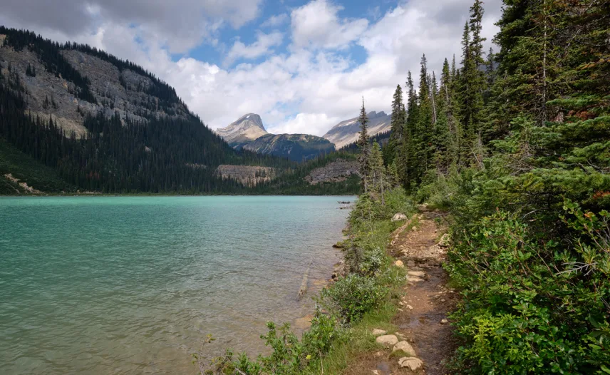
Sherbrooke Lake is a scenic, quieter spot ideal for a peaceful picnic or fishing. The trail begins in dense forest with minimal elevation gain; at the junction, follow signs for the lake and watch for wildflowers. A series of boardwalks leads to the long, narrow lake, framed by Mt. Ogden on the left and Paget Peak on the right.
Difficulty – Moderate
Paget Lookout
Roundtrip: 7 km (4.3 mi) – 3 hrs
Elevation gain: 520 m (1,706 ft)
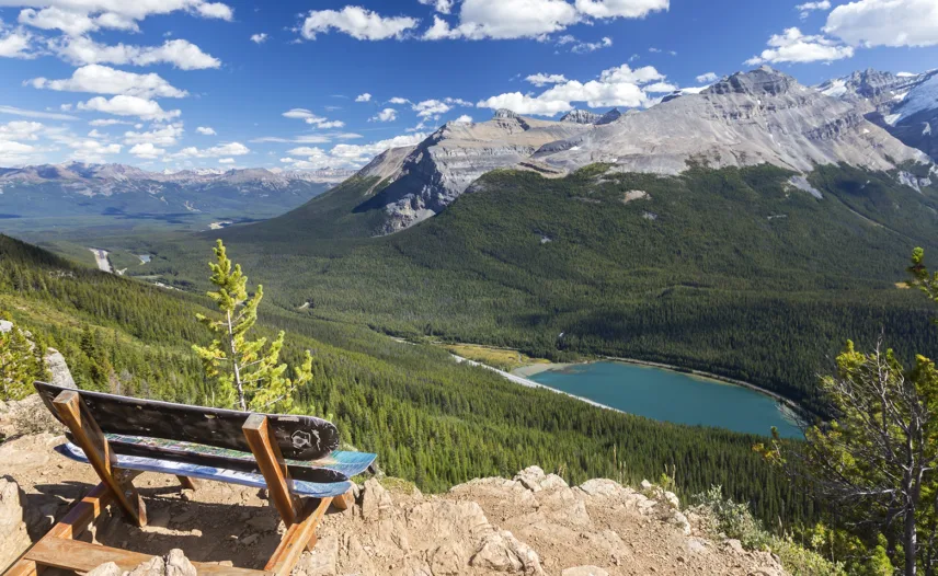
This moderate hike leads to a decommissioned fire lookout with stunning views of surrounding valleys and peaks. Starting at the Sherbrooke Lake trailhead, turn right at the junction for Paget Lookout, where the trail steepens and offers occasional valley views. After a series of switchbacks, you’ll reach the small white lookout hut with panoramic views of the Bow, Kicking Horse and O’Hara Valleys.
Difficulty – Easy
Wapta Falls
Roundtrip: 4.6 km (2.9 mi) – 1.5 hrs
Elevation gain: 30 m (98 ft)
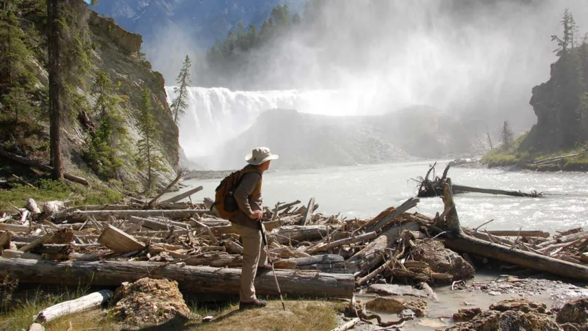
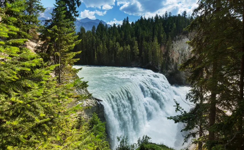
The Wapta Falls trailhead is just before Golden, but westbound travelers must continue 3 km past it to safely turn around and access it from the eastbound lane. This short, popular trail has minimal incline until a steep section near the end, which leads to a stunning view at the base of the falls.
